Surveying
For over 40 years, private and public sector clients have relied on KEM’s commitment to accurate plans, timely project development, and cost control. The foundation of this success starts with high-quality professional surveying services. These services include
- ALTA/NSPS Land Title Surveys
- Annexation, Dedication, Easement Plats
- Construction Layout & Staking
- Roadway Surveys
- Topographic Mapping
- Right of Way Plan Preparation
- Deed and Historical Title Research
- Right of Way Acquisition
- BIM Surveys
- Hydrographic Surveys & Floodplain Mapping
- Utility Mapping
- GPS Surveying
- As-Built Surveys
- Volumetric Surveys
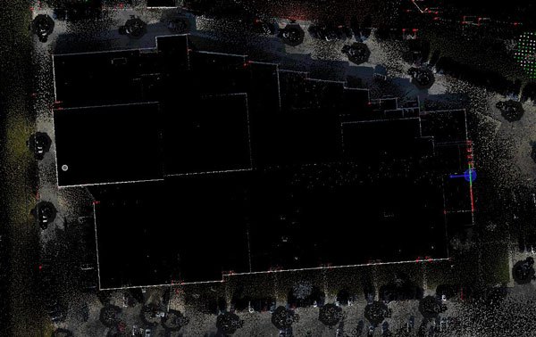
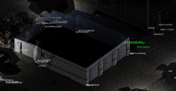
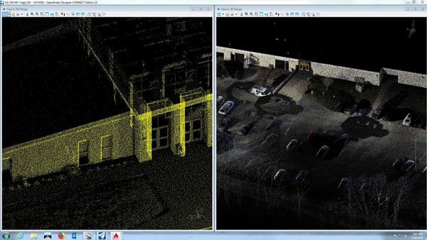
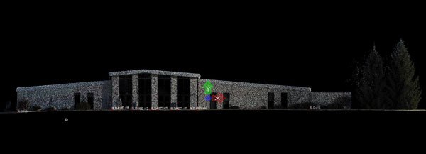
- 3D Lidar Scanning
KEM offers 3D laser scanning services for detailed and highly accurate data capture with a wide range of applications, including topography, intersection/signal projects, as-built surveys, bridges, and so much more. For additional information on how KEM can use this technology to expedite data delivery, contact Garrett Viars.