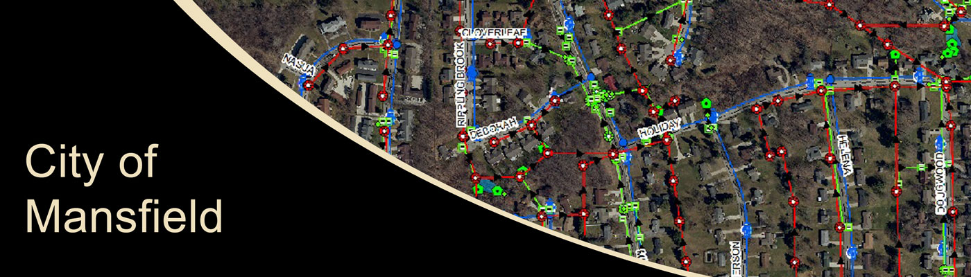
City of Mansfield Utilities GIS
This mapping effort included the collection of storm and sanitary manholes, catch basins, curb inlets, detention basins, water valves, and fire hydrants within the City limits. To collect this data, KEM used GPS equipment with sub centimeter accuracy. Additionally, field personnel measured depths from the top of each structure to determine invert elevations. Field personnel also recorded visual observations of pipe sizes and flow direction. This information was utilized to create the utility mapping and asset management system for the entire City.
Sample Projects