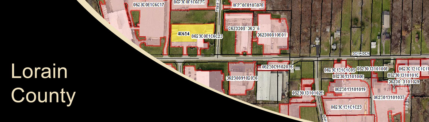
Lorain County MS4 Mapping
MS4 mapping required the inventory of outfall locations within Lorain County. KEM field efforts included the physical identification of outfall locations and then collection of data with GIS equipment. The collected data included the identification of discharge type, pipe diameter, pipe material, pipe direction, digital image, and GPS coordinates. KEM also conducted a visual dry-weather screening during the collection process and recorded this data while conducting the field evaluations.
Sample Projects