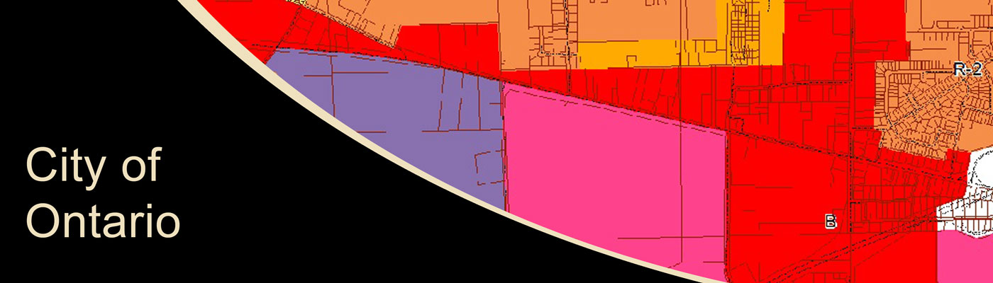
City of Ontario MS4 Mapping
KEM initiated GPS mapping of utilities for the City of Ontario, along its main traffic corridors. This mapping effort included all storm and sanitary manholes, catch basins, yard basins, water valves, and fire hydrants. To collect this data, KEM used GPS equipment with sub centimeter accuracy. Additionally, field personnel measured invert depths from the top of each structure to determine invert elevations. Field personnel also recorded visual observations of pipe sizes and flow direction. This information was used to set up the utility mapping and asset management system for the utility infrastructure.
Sample Projects