Project Details
- Client
- City of Oberlin
- Location
- Oberlin
- Year
- Ongoing
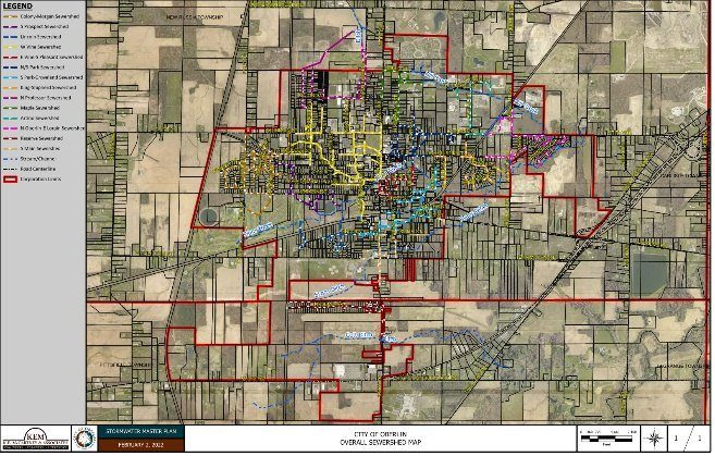
GIS data was utilized to construct the model, and sub-watersheds were delineated to analyze hydrology and hydraulics across different sections of the system.
The initial model has been completed and presented to the City’s Public Utilities Commission. Following the presentation, the city requested an expanded scope to include 2D flood modeling. Once this additional modeling is complete, KEM will identify critical problem areas and develop solutions through advanced modeling, preliminary plan creation, and cost estimates. The project will culminate in a final report summarizing the master plan’s findings and recommendations.