What we survey
- ALTA/NSPS land title surveys
- Annexation, dedication and easement plats
- Construction layout and staking
- Machine Control
- Volumetric surveys
- Roadway surveys
- Topographic mapping
- Right-of-way plan preparation
- Deed and historical title research
- Right-of-way acquisition
- Utility mapping
- As-built surveys
- Hydrographic surveys and floodplain mapping
- Reality Capture & Advanced Survey Technologies
Reality Capture
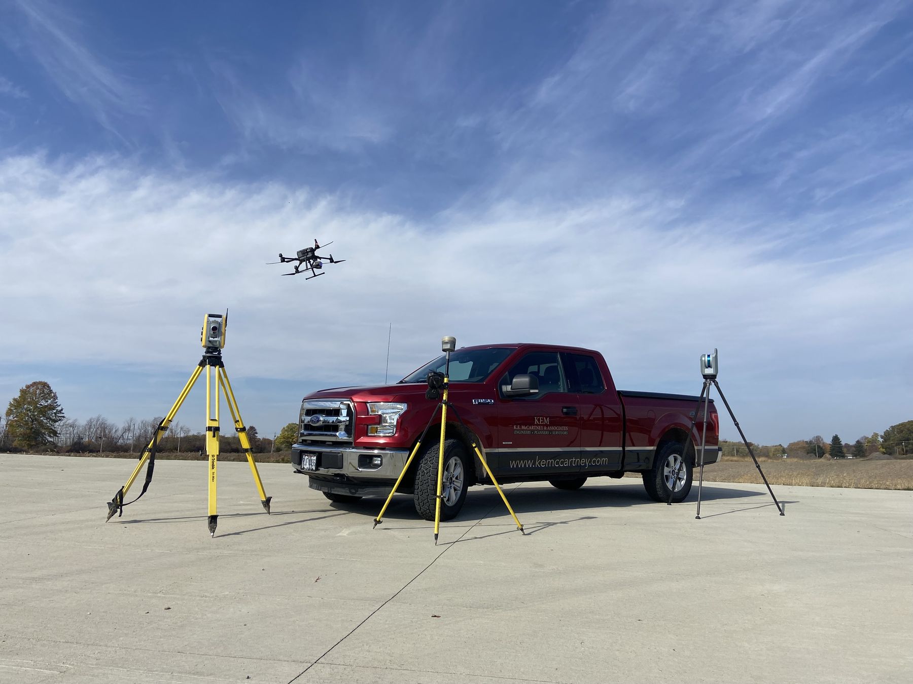
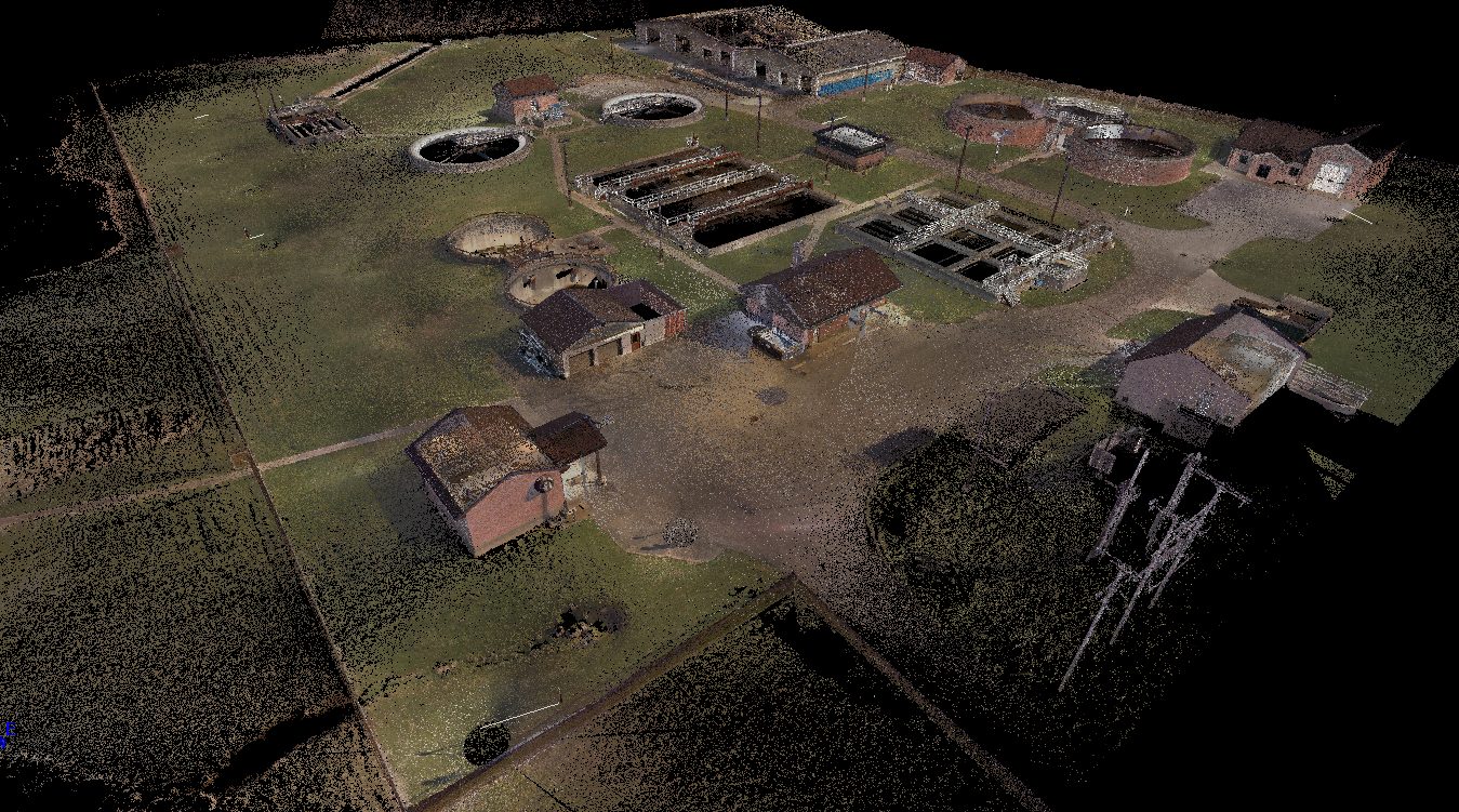
We utilize LiDAR technology from both terrestrial scanners and drones to capture existing conditions quickly and accurately. Ground-based scanning is ideal for structures and projects requiring the highest level of precision, while drone-based LiDAR efficiently covers large sites, stockpiles, and linear corridors. For both methods, the process begins with establishing a precise survey control network using GPS and robotic total station technology, as needed to meet the project’s accuracy requirements, and concludes with an on-site field review to verify data completeness and accuracy. Each system generates a point cloud, a three-dimensional dataset consisting of millions of measured points, which our team uses to create survey drawings, surface models, and digital representations of the project area.
From the ground
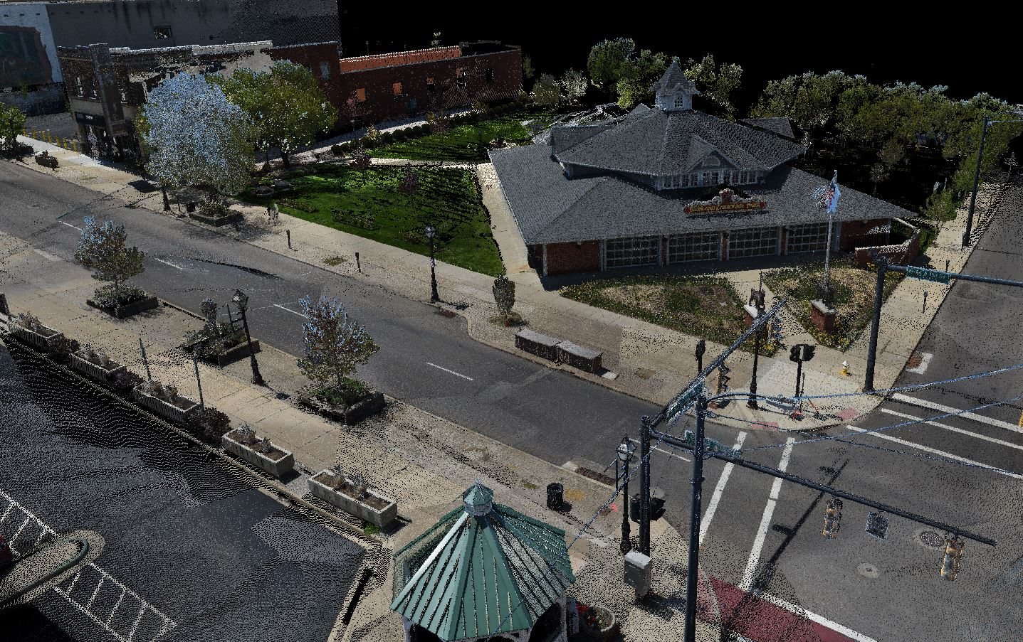
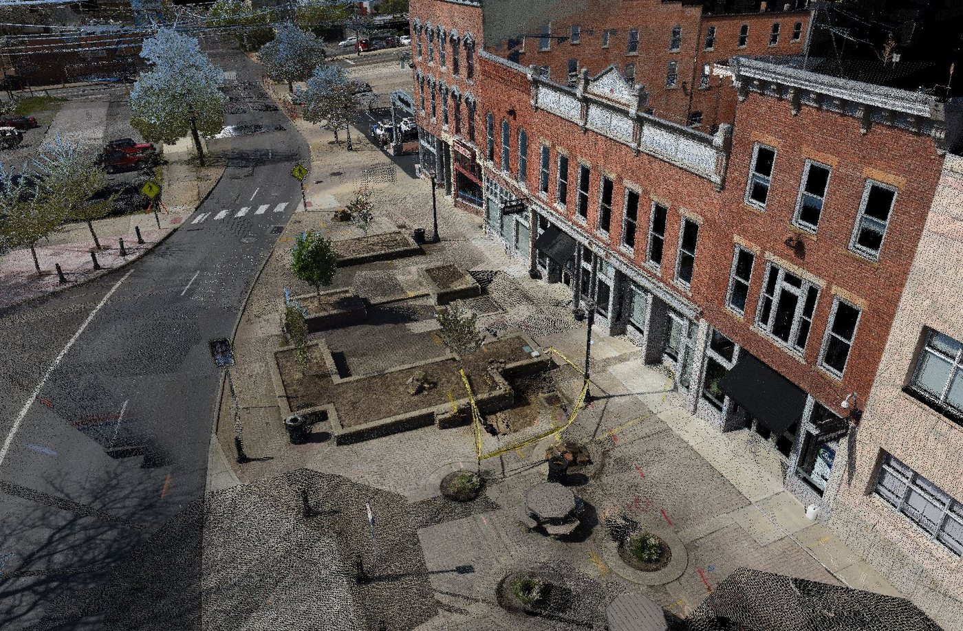
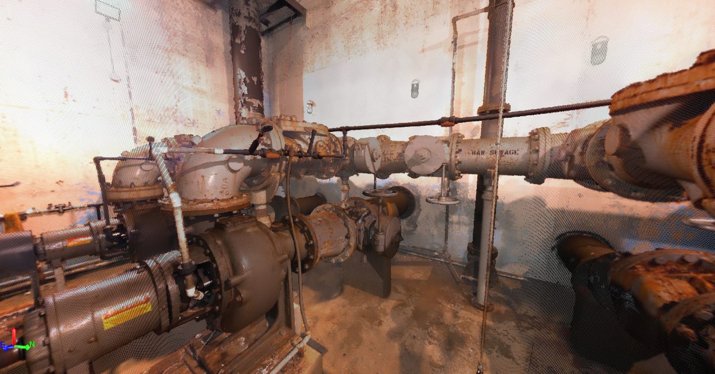
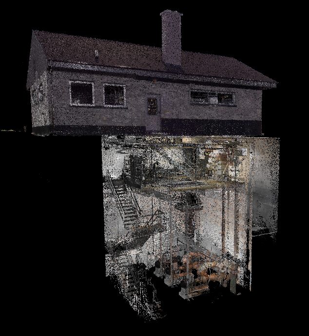
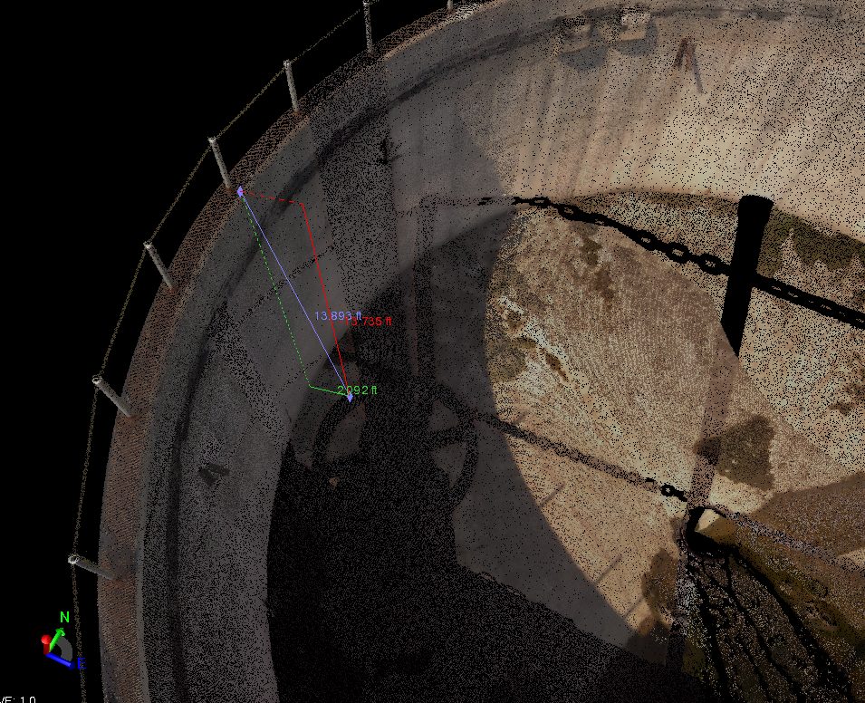
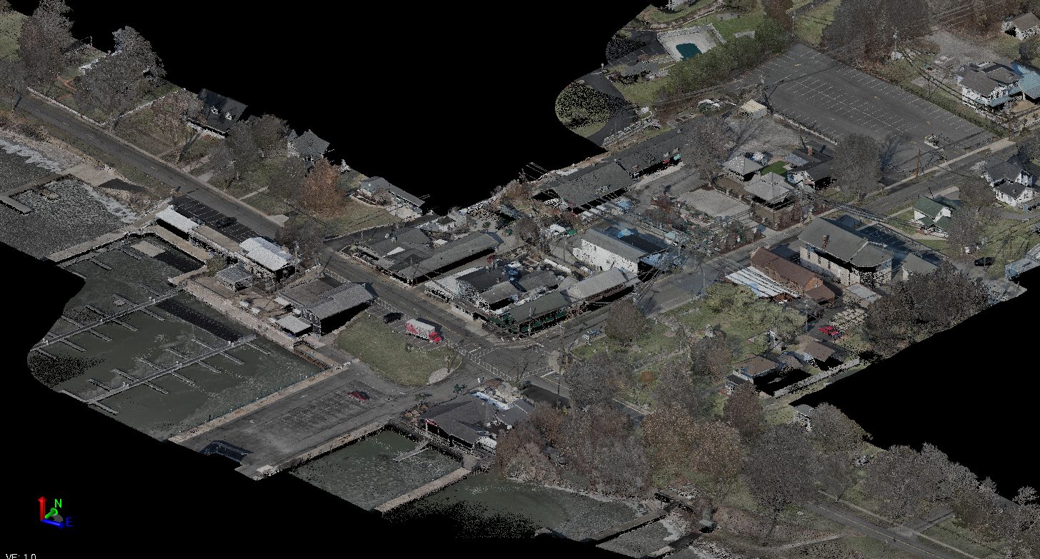
Our terrestrial laser scanners capture existing conditions by emitting tens of thousands of laser pulses every second, recording an XYZ coordinate for each point measured. This technology allows us to accurately document topography, intersections and traffic signals, bridges, structures, utilities, piping galleries, and as-built conditions. The result is a highly detailed point cloud that creates a digital representation of the project site.
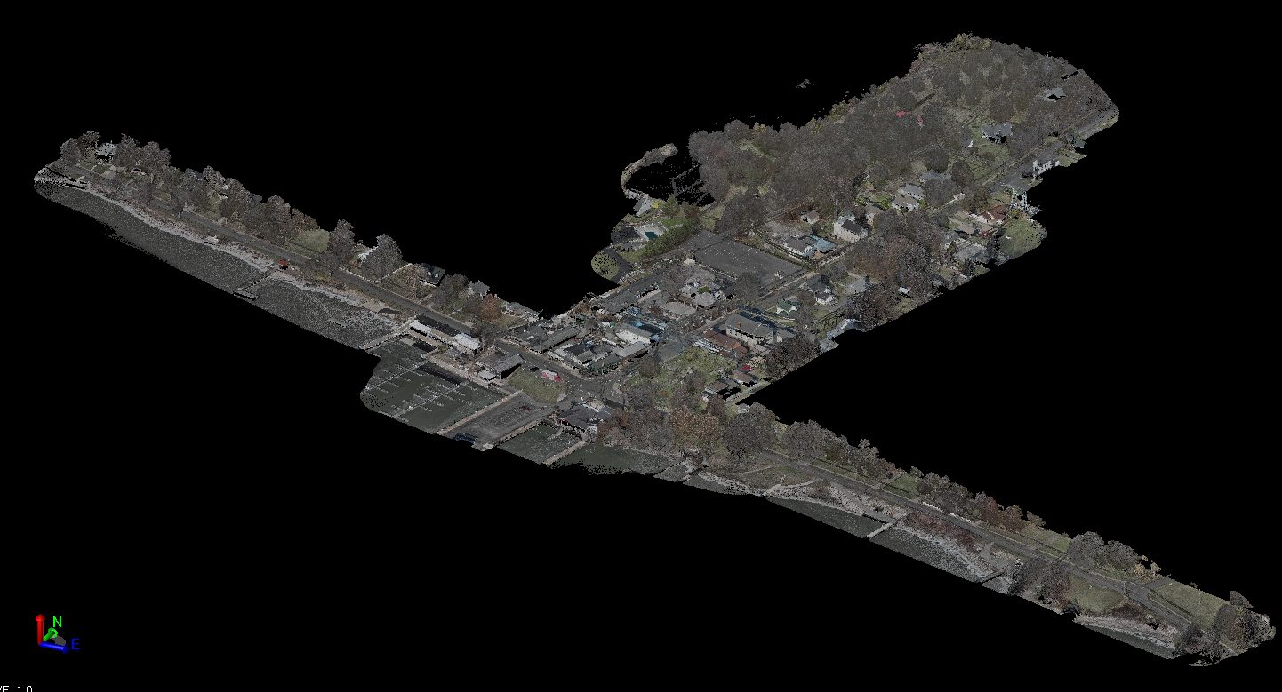
With the entire site captured in a single dataset, measurements, clearances, layouts, and existing conditions can be analyzed safely and efficiently from the office, reducing the need for additional site visits and ensuring all project stakeholders are working from the same information. The downtown Mansfield scans shown here were completed in support of the design of the Main Street Streetscape project.
From the air
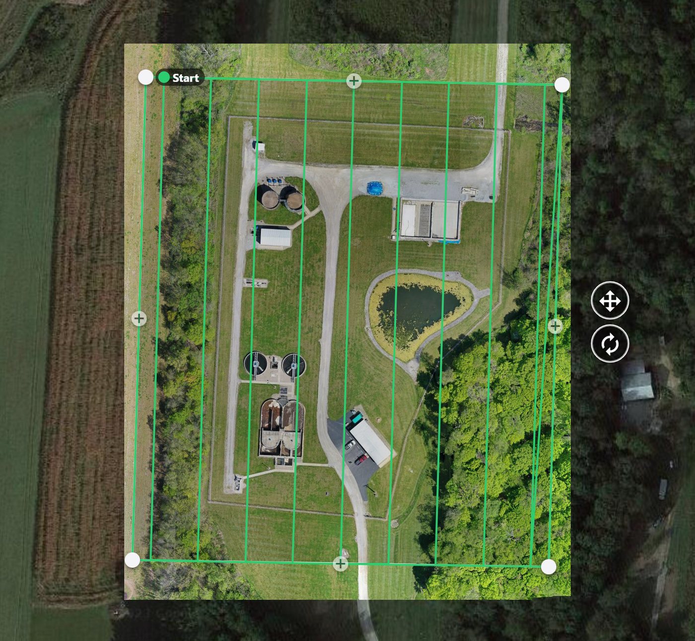
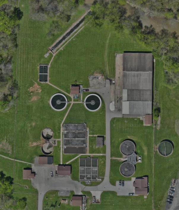
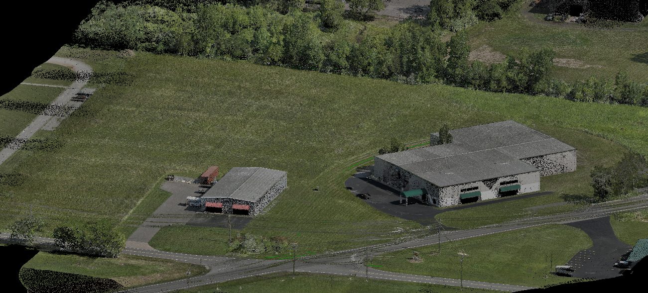
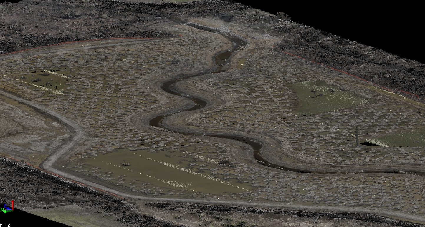
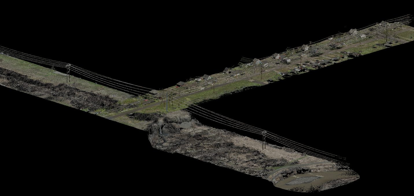
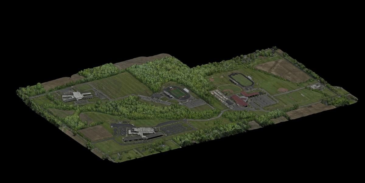
For larger sites, our FAA Part 107-certified pilots utilize drone-mounted LiDAR systems to efficiently capture existing conditions. Each mission is carefully planned and flown in a series of overlapping passes to provide complete coverage of the project area. Compared to a conventional topographic survey, aerial LiDAR can collect data across large sites in a fraction of the time while creating a detailed 3D model of the terrain and visible surface features.
Despite the speed of aerial data collection, survey fundamentals remain critical. Our crews establish a project control network and locate underground utilities using conventional survey methods. These ground-surveyed control points are then used to calibrate and verify the coordinates and elevations within the point cloud, ensuring the final deliverable meets the accuracy requirements of the project.
Related Projects
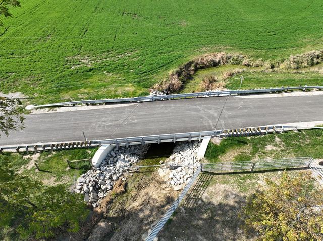
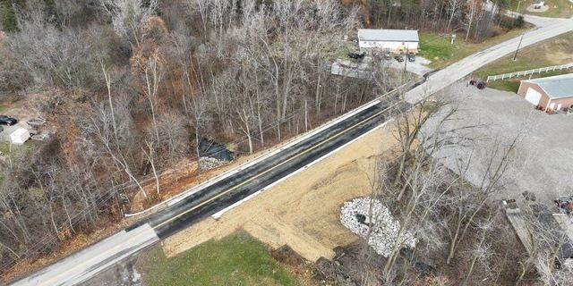
Townline Road Bridge Replacement, Richland County
KEM conducted the field survey, hydraulic analysis, bridge design, and plan development for the Townline Road Bridge Replacement project.
Spring Street Culvert Extension, Willard
KEM provided field survey, culvert design, and utility coordination for the extension of the 60″ culvert under Spring Street.
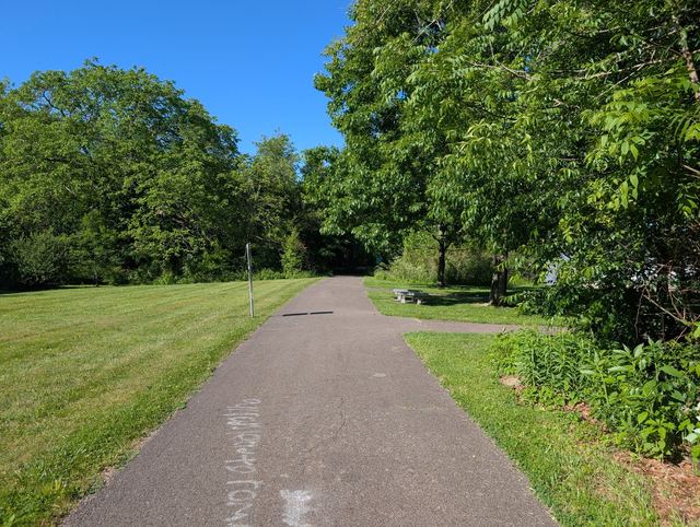
B&O Trail Resurfacing, Richland County
KEM provided engineering design, field survey, construction documents, utility coordination, and drainage design for the entire 18.4 mile B&O Trail in Richland County from the Village of Butler to the City of Mansfield.
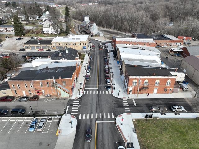
Fredericktown Streetscape
KEM provided Civil Engineering and Surveying Services for the Village of Fredericktown.
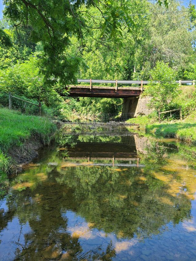
Brubaker Creek Road Bridge Replacement, Richland County
KEM provided field survey, hydraulic analysis, bridge design, and right-of-way plan development for the Brubaker Creek Road Bridge Replacement project.
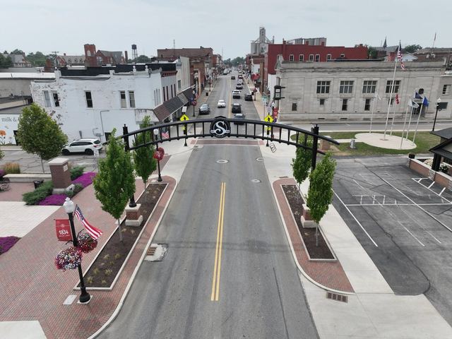
Black Fork Commons Plaza, Shelby
KEM was contracted to conduct survey work, prepare an existing site plan, and design the utility connections for a community plaza.