Geospatial Services
What we do
- GIS needs assessments for city and county departments
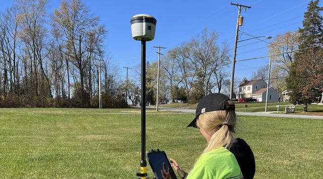
- Utility mapping with sub-centimeter GPS
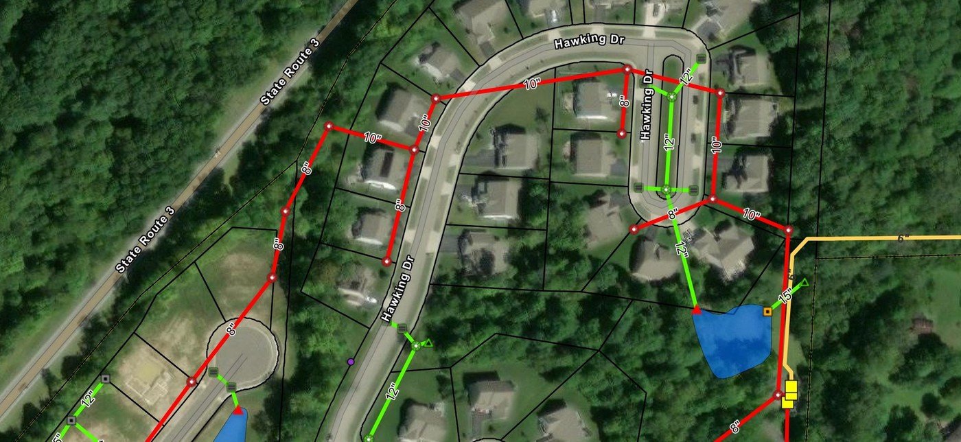
- Storm, sanitary and water system inventories: manholes, catch basins, inlets, valves and hydrants
- Structure depths, invert elevations, pipe sizes and flow direction
- MS4 outfall inventories
- GIS and billing databases for stormwater utilities
- Asset management system setup
Featured Projects
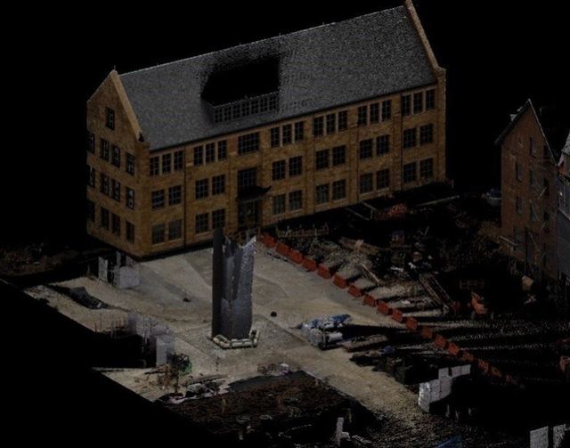
Kenyon College Sculpture Scan, Gambier
KEM provided Adena Corporation with a detailed scan of the recently installed art sculpture located between Chalmers Library and Lowell House.
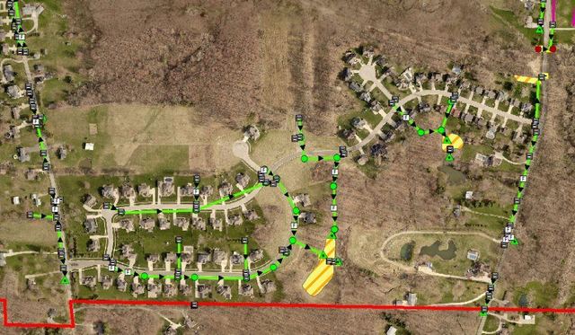
Ontario Utility GIS Mapping
KEM conducted Global Positioning System (GPS) mapping of detention and retention facilities within the City of Ontario's corporation limits.
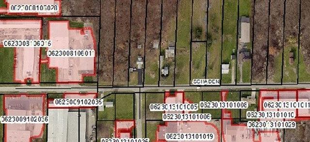
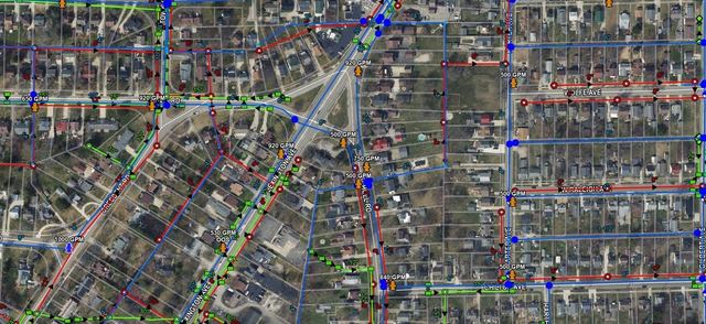
Lorain County Stormwater Mapping
KEM was engaged by Lorain County to develop a comprehensive GIS-based asset management system for stormwater utilities.