
Blair McClenathan
Geospatial & Technology Solutions Manager · Mansfield office
Blair is KEM’s Geospatial & Technology Solutions Manager, helping communities and project teams collect, manage and use the information behind infrastructure decisions. Experience with the City of Mansfield shapes Blair’s work in enterprise GIS, utility and transportation mapping, field data collection and automation, with the aim of making complex information easier to use.
Featured Projects
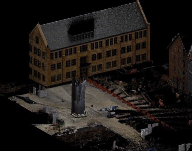
Kenyon College Sculpture Scan, Gambier
KEM provided Adena Corporation with a detailed scan of the recently installed art sculpture located between Chalmers Library and Lowell House.
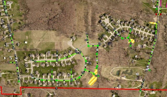
Ontario Utility GIS Mapping
KEM conducted Global Positioning System (GPS) mapping of detention and retention facilities within the City of Ontario's corporation limits.
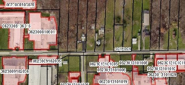
Lorain County Stormwater Mapping
KEM was engaged by Lorain County to develop a comprehensive GIS-based asset management system for stormwater utilities.
Kenyon College Sculpture Scan, Gambier
KEM provided Adena Corporation with a detailed scan of the recently installed art sculpture located between Chalmers Library and Lowell House.
Ontario Utility GIS Mapping
KEM conducted Global Positioning System (GPS) mapping of detention and retention facilities within the City of Ontario's corporation limits.
Lorain County Stormwater Mapping
KEM was engaged by Lorain County to develop a comprehensive GIS-based asset management system for stormwater utilities.