Project Details
- Client
- Lorain County Stormwater Management District
- Location
- Lorain County
- Year
- Ongoing
Services provided as part of the project include IDDE Program Management, which encompasses Dry Weather Screening, Illicit Discharge Tracing, and Complaint Management.
KEM also leverages tools such as Survey123 to enhance data collection efforts. For example, it enables the creation of custom questionnaires to gather project-specific information, such as those related to Ditch Improvements. Petition areas are added to the GIS map, allowing users to log details about areas needing attention, such as log jams or flow obstructions.
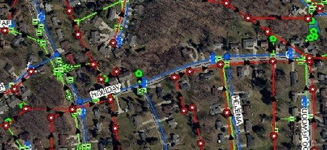
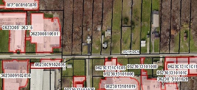
Additionally, KEM has provided extensive drainage infrastructure asset management by mapping a variety of assets, including manholes, catch basins, curb inlets, detention basins, ditches, culverts, network structures, and outfalls throughout the county. The resulting database incorporates critical structure information, dynamic links to construction plans, and photographs of the infrastructure.