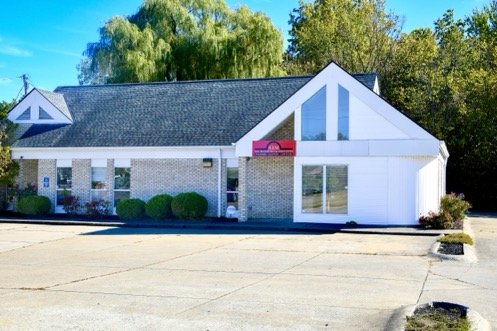
Lorain County Sanitary GIS Mapping

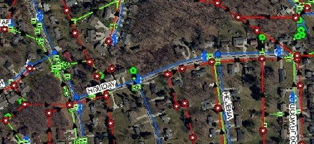
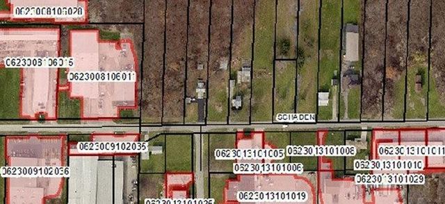
KEM was engaged by Lorain County to develop a comprehensive GIS-based asset management system for the county’s sanitary utilities. The project entails field reconnaissance of various structures and the creation of layers to establish a countywide mapping system.

Project Details

Client
Lorain County
Year
Ongoing

The resulting database integrates critical structure information, dynamic links to construction plans, and photographs of the infrastructure.

KEM utilizes ESRI software through its AEC Subscription to provide an online GIS platform. This platform enables the visualization of utilities and grants Lorain County personnel access to online maps for viewing the infrastructure within their communities.
Related Projects

Have a Project in Mind?

Tell us what you're planning

KEM's Mansfield office
Headquarters

Mansfield

52 N. Diamond Street
Mansfield, Ohio 44902
KEM's Elyria office

Elyria

526 E. Broad Street
Elyria, Ohio 44035
KEM's Lorain office

Lorain

5065 Oberlin Avenue
Lorain, Ohio 44053