Project Details
- Client
- City of Mansfield
- Location
- Mansfield
- Year
- 2014
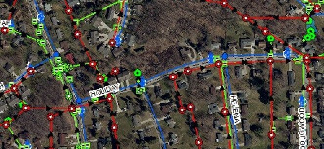
This process included documenting inverts, pipe directions, pipe sizes, and pipe materials for each manhole across the city. The final database integrates essential structure information, dynamic links to construction plans, and photographs of the infrastructure.
Following the completion of drainage, sanitary, and water feature data collection, the city further expanded its mapping system by engaging KEM to field locate and traverse all 8-inch sanitary manholes within the city. Upon project completion, KEM continues to support the City of Mansfield by providing GIS services and assistance to ensure their GIS system remains current and effective.