Project Details
- Client
- Village of Bellville
- Location
- Bellville
- Year
- Ongoing
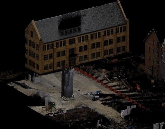
As part of these efforts, KEM was tasked with conducting an inventory of all trees located within the Village’s right-of-way. Using a lidar scanner, the data was captured, converted into shapefiles, and subsequently loaded into a GIS map as points.
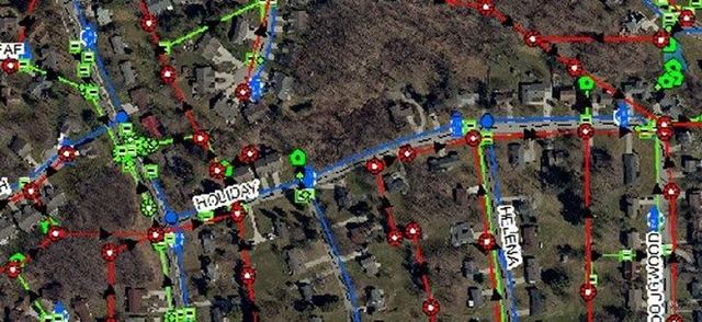
KEM leverages ESRI software through its AEC Subscription to provide an online GIS platform, enabling the integration of utility data onto interactive maps. This subscription allows KEM to manage data on behalf of the Village while granting Bellville personnel access to online maps for viewing their community’s infrastructure.