Prequalifications
Ohio Department of Transportation (ODOT)
Prequalified consultant categories, current through March 31, 2027. ODOT also lists KEM as a Small Business Enterprise (SBE) and as financially prequalified.
What each category requires (ODOT prequalification manual, PDF) (opens in a new tab)- Non-complex and complex roadway design
- Level 1.2 and Level 2 bridge design
- Bicycle facilities and enhancement design
- Basic traffic signal design
- Limited and complex lighting design
- Limited and complex right-of-way plan development
- Safety studies
- Interchange operations, modification and justification studies
- Construction management
ODOT right-of-way acquisition
Real estate services for ODOT and local agency projects.
- Negotiation
- Title research
- Value analysis
- Appraisal
Ohio Department of Administrative Services, State Architect’s Office
- Civil engineering
- Surveying
Ohio Department of Natural Resources
- Bridges
- Construction management and inspection
- Highway, street and parking lot design
- Site and installation planning
- Sewage collection, treatment and disposal
- Surveying, platting and mapping
- Flood plain studies
- Water supply, treatment and distribution
Licensed and Certified Staff
Licenses
- 17Professional Engineers (PE)
- 4Professional Surveyors (PS)
- 8Engineer Interns (EI/EIT)
Certifications
- 5Certified Professional in Erosion and Sediment Control (CPESC)Certified to plan and design erosion and sediment controls. EnviroCert (Certified Professional in Erosion and Sediment Control (CPESC)) (opens in a new tab)
- 1Certified Professional in Stormwater Quality (CPSWQ)Certified in stormwater quality regulations and their management. EnviroCert (Certified Professional in Stormwater Quality (CPSWQ)) (opens in a new tab)
- 5Certified Erosion, Sediment and Stormwater Inspector (CESSWI)Certified to inspect erosion, sediment and stormwater controls on construction sites. EnviroCert (Certified Erosion, Sediment and Stormwater Inspector (CESSWI)) (opens in a new tab)
- 8NASSCO PACP, MACP and LACPThe national standard for rating the condition of sewer pipes, manholes and laterals from inspection video. NASSCO (NASSCO PACP, MACP and LACP) (opens in a new tab)
- 9ODOT Construction Engineer (Level 1 or 2)
- 8ODOT Prequalified Construction Inspector
- 12ACI Concrete Field Testing TechnicianCertified to sample and test fresh concrete on site. American Concrete Institute (ACI Concrete Field Testing Technician) (opens in a new tab)
- 6FAA Part 107 Remote PilotThe FAA certificate required to fly drones for commercial work. Federal Aviation Administration (FAA Part 107 Remote Pilot) (opens in a new tab)
Awards
- 2024
Small Business of the Year
Richland Area Chamber. Winner in the 15+ employees category. Watch the video (opens in a new tab)
- 2022
ACEC Ohio Engineering Excellence Award, Honor Award
American Council of Engineering Companies of Ohio. For the Village of Butler’s regional wastewater treatment plant, which replaced five aging treatment systems with one plant and received Ohio EPA’s first wastewater regionalization grant. About the project
Quality Control
Every design follows KEM’s design quality control plan. The project manager is responsible for the accuracy and completeness of the work, from field survey and calculations to the technical details, and for keeping the design in line with the client’s goals, field conditions and budget.
Before a project is bid, senior construction staff complete a constructability review of the plans, specifications, quantities and estimate. Clear bid documents bring competitive prices and fewer claims and change orders, and careful contract administration during construction keeps the rest in check.
Equipment and Facilities
Surveying and Scanning
- Terrestrial LiDAR scanner
- Drone LiDAR and photogrammetry, flown by FAA Part 107 pilots on staff
- Trimble S6 and S7 robotic total stations
- Trimble R8, R10 and R12i GNSS receivers on the ODOT VRS network
- Three Trimble R580 sub-centimeter-grade GNSS units for GIS mapping
- Three fully equipped survey trucks
Sewer Inspection and Flow Monitoring
- Two CCTV trucks with lateral launch cameras, one with laser profiling
- Portable CCTV trailer and push cameras
- More than 40 flow meters, with rain gauges and telemetry modems
- Smoke and dye testing equipment
Design and Analysis Software
- Autodesk Civil 3D and AutoCAD
- Bentley OpenRoads Designer, WaterCAD and SewerCAD
- HydroCAD, HEC-RAS, HEC-HMS and EPA SWMM
- Esri ArcGIS Pro, ArcGIS Online and ArcGIS Enterprise
- TopoDOT, RiSCAN Pro, Trimble Business Center and DJI Terra for point clouds and survey data
- Bluebeam Revu for plan review
Offices and Fleet
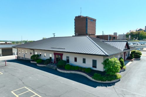
- 15,000 sq ft headquarters in Mansfield
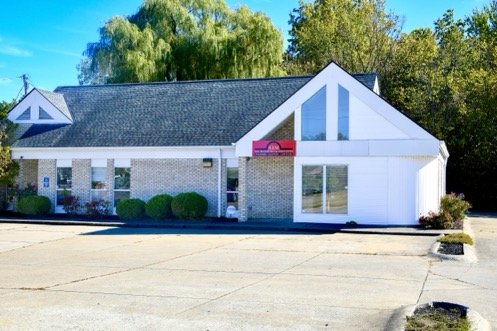
- Offices in Elyria and Lorain
- A fleet of 33 vehicles, including survey and inspection trucks and an ATV