Project Details
- Client
- Village of Galena
- Location
- Galena
- Year
- Ongoing
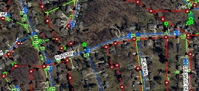
These utilities include drainage, sanitary, and water assets, which are field-collected and integrated into the GIS mapping system.
To ensure compliance with Ohio MS4 permit requirements, KEM provided drainage infrastructure mapping services, enabling the village to conduct and document various mandated programs. Leveraging ESRI software through its AEC Subscription, KEM delivers an online GIS platform that visualizes the utilities, manages the data on behalf of Galena, and grants village personnel access to interactive online maps to view their community's infrastructure.