Project Details
- Client
- City of Ontario
- Location
- Ontario
- Year
- Ongoing
During the first phase, data collection included mapping the perimeters of facilities, inlet structures, outlet structures, and major stream outfalls. Each facility was documented with a sketch outlining the general condition, size, and materials of the inlets and outlets. Additionally, photographs of each detention and retention facility were captured for inclusion in the Geographic Information System (GIS). The data was collected using Starlink Invicta 210 (10Hz) GPS receivers with a dual-channel beacon, providing real-time submeter (RMS) positional accuracy. This effort supported the City’s compliance with the Ohio Environmental Protection Agency’s (EPA) NPDES Phase II MS4 permit mapping requirements. The resulting GIS system is now actively utilized to implement and document various programs required under the Ohio EPA's NPDES Phase II MS4 permit.
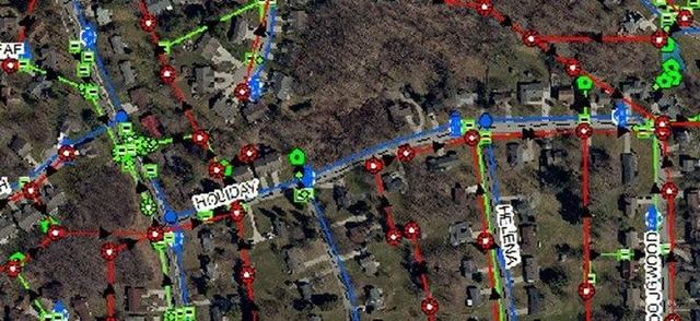
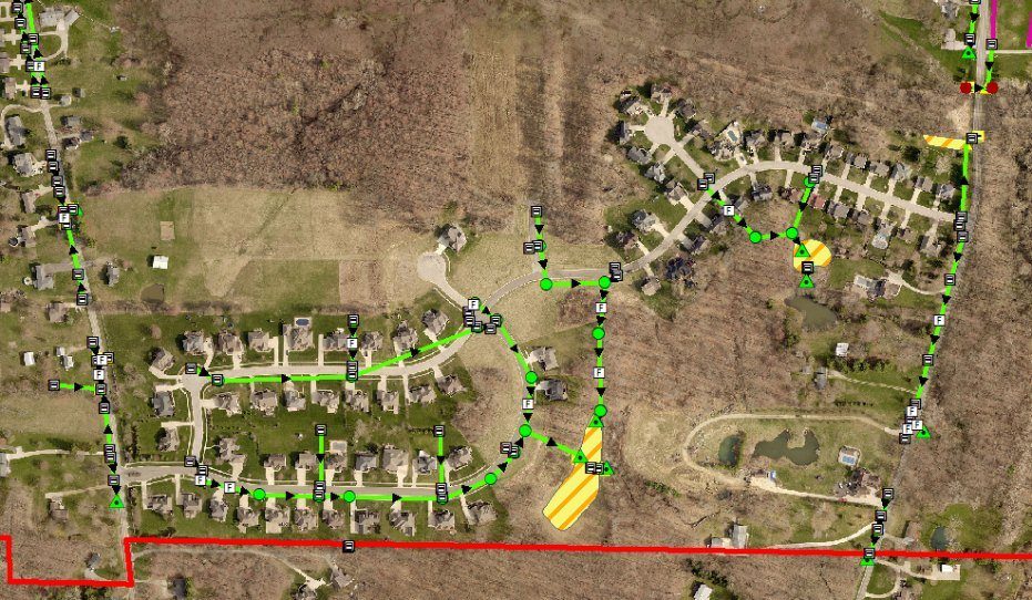
In the subsequent phase, KEM expanded the GPS mapping effort to include utilities along Park Avenue West, Lexington-Springmill Road, and West Fourth Street within the city. This phase involved mapping storm and sanitary manholes, catch basins, yard drains, water valves, and fire hydrants. Data was gathered using Hiper+/Legacy E RTK, 1Hz, L1/L2 GPS, and GLONASS technology, providing real-time sub centimeter positional accuracy. Field personnel measured invert depths from the tops of structures using tape measures where possible, enabling the calculation of invert elevations. Observations on pipe sizes and flow directions were also recorded during this process.
Over time, the City of Ontario has continued to rely on KEM to locate and map all municipal utilities, including drainage, sanitary, water, and selected electrical assets. To streamline operations, KEM created a comprehensive map in ArcGIS Pro, incorporating all assets slated for field collection. These asset layers were published to ArcGIS Online as a feature service layer, enabling real-time field data collection directly within the online mapping environment using a centimeter-grade Trimble R2 Receiver. Adopting this advanced technology eliminated at least two steps in the field collection process, significantly improving speed and cost-efficiency. KEM continues to serve as the GIS administrator for the city, maintaining and updating the data while collecting new infrastructure as requested.