Summer 2024 – Technological Advancements
Technological Advancements at KEM


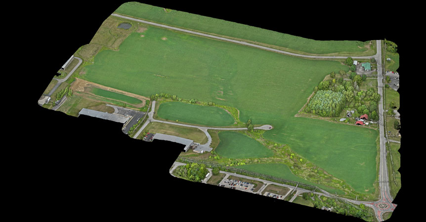
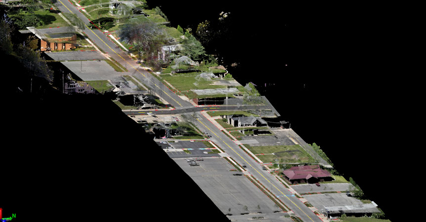
KEM recently added aerial 3D LiDAR scanning to our list of surveying services. By purchasing the DJI Matrice 350 RTK, we can provide highly accurate models of existing site conditions with a level of efficiency and quality that was not possible through traditional surveying methods. Gathering topo data for a large site by traditional surveying methods is not only less efficient, but also lacks any visual references to get a perspective of the terrain and landscape. Through the utilization of aerial LiDAR, we are able to spend a fraction of the time on site and, ultimately, provide a higher-quality end product to the client. Traditional surveying methods are still being utilized to set project control and gather data on underground utilities. Said data, collected through traditional methods, can then be used as a QA/QC check to verify coordinates and elevations within the LiDAR point cloud, ensuring that the end product is as accurate as possible.
The use of Aerial LiDAR technology allows KEM to take on more projects and reduces many of the unknowns that can cause issues during the design process. This is another example of KEM’s commitment to stay on the cutting edge of technological advancements so we can provide the best services possible to our clients.

 Previous Post